Modular River Survey
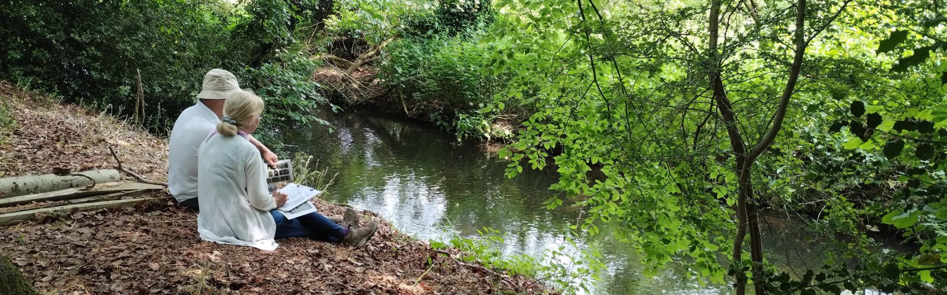
Modular River Survey (MoRPh) is a national citizen science method of river habitat quality assessment, that assesses the quality of habitat in-channel, on the bank faces and bank tops. The method can be used to provide further information on the diversity of vegetation types (aquatic and terrestrial), physical features (berms, benches, islands, sand bars), flow types and sediment types.


In the Chess catchment, we have used this method to monitor river restoration and intervention (fencing) projects, collecting data before work is started to provide baseline data and after project completion to monitor habitat changes and (hopefully!) improvments over the long term.
Using MoRPh in the Chess Catchment
We have used MoRPh to monitor many of our restoration projects, the longest monitoring for which has been for the main River Chess Channel at Restore Hoipe Latimer in the mid-catchment. The restoration work was completed in November 2022, so all monitoring in 2023 and 2024 has been post-project.
Our results so far can bee seen in the image on the right. Baseline surveys were conducted in 2022 and we have seen litte change in flow types since (these are affected by water levels). Increases in siltation are a result of sediment settling into our new berms that we hope will establish more marginal vegetation. We have also seen little change in channel physical features, slight increases in aquatic vegetation diversity, and improvments in both bankside physical features and vegetation diversity.

Long-term monitoring beyond the completion of river restoration and intervention projects will help us continue to track habitat quality as the river naturally accommodates our river restoration features.
